| Sept 20/13 to Oct 10/13 | Zeballos Nootka Sound Kyuquot |
| Oct 17/13 to Nov 09/13 | Hike Horseshoe Bay to Midway |
| Nov 10/13 to Nov13/13 | Hike Midway to Castlegar |
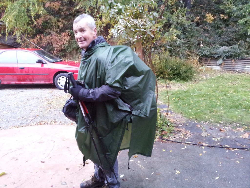
I purchased hiking gear to take with me on my journey but only expected I’d be using it for short, night, or two hikes. I didn’t have any thoughts of doing a long destination hike. I finished up my biking/canoeing for the year when I arrived at my aunt’s in Fanny Bay. My winter plans were to take my parents, who live with my brother, up to my sister’s at 108 Mile. It was mid-October and the weather was fabulous I had a month before my folks were wanting to leave. I had been a member of the Summerland Trans Canada Trail Society for many years and had always wanted to walk more of the trail. Thinking about what I could do for the next month, it only took a few moments before I decided a walk to Castlegar on the rail trails was a good plan. Nice thing about being a nomad is there was nothing I had to arrange to be free to go. Once the hiking gear was assembled I was on my way.

I got off the ferry in Horseshoe Bay at 7:00 PM. There was very little daylight remaining but there was no point in finding a place to camp yet. I walked for about three hours along Marine Drive and then stopped in a little park that offered this slab of rock as the only flat camping spot.

Sunrise as seen from my sleeping bag, looking across Burrard Inlet.

Crossing Lions Gate Bridge. Once across, I stopped in Stanley Park and visited the aquarium as I wanted to know more about sea otters. Then I took the SkyTrain to a friend’s place in New West. I rested there a day and then returned via SkyTrain to the Granville Station where I then walked the distance back to New West. The weight of my pack had a few foot blisters starting and, as there was no need for the pack, this day without it, and the rest day helped them callous up. Three blisters on the first few days were it for the entire twenty-six day walk.
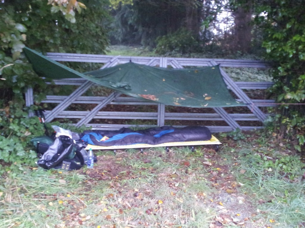
A make-do camp spot between Aldergrove and south Abbotsford. There were no vacant lots or other suitable spots I could find along 56th Avenue. This was a second driveway into somebody’s property and the house was very close. Same for the busy road only ten feet away. Glad they didn’t have a dog and that it was dark.
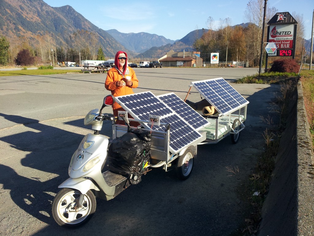
Met this fellow east of Agassiz. He’d come from Thunder Bay all on solar power with this scooter and trailer of his design. Wonder how he made out west of Mission as the weather pattern had the lower Fraser Valley in all-day thick fog. My first look at blue sky was not until I was crossing the Mission Bridge.

Crossing the Fraser River at Hope and loving the everyday sunshine.

The Kettle Valley Railway was built in the early 1900s and ran between Midway and Hope. Andrew McCulloch was the engineer in charge of its construction and the rail line has been dubbed McCulloch’s Wonder. A wonder indeed, an example being the five Quintette Tunnels just east of Hope. They are easily reached with a short hike from a provincial park parking lot just off the Coquihalla Highway. Recommend you give them a look.

The reader boards mention of the five tunnel engineering feat.

Another potential use for roofed reader boards. Covering needed for dew, not rain.

Past Hope and up to the tunnels, the Trans Canada Trail (TCT) follows the KVR rail bed. Once east of the tunnels, the rail line disappears and it’s necessary to walk a paved road which then accesses the Coquihalla Highway. I crossed under that freeway and was looking for signs indicating the KVR route. Instead, I saw one that read ‘HBC 1849 Heritage Trail’. I didn’t know where that trail led but was curious and so I walked a couple of kilometres to the trailhead signs. Then I recalled attending a talk years ago when this trail was restored by a group from Princeton. This route, which was a true trail, was much more appealing to me than walking the KVR route in earshot of the freeway. A new to me, route across the Coast Mountains.

Looks inviting.

Pointing to Fool’s Pass from the Mt. Davis area. Leaving the Coquihalla River the trail follows the remnants of a former logging road to a very steep, forested hillside. From there it zigs and zags up the grade to an elevation of 4100 feet at Fool’s Pass, where it descends at a lesser grade before another steep ascent to Mt. Davis.

The camping area at Mt. Davis at sunset.
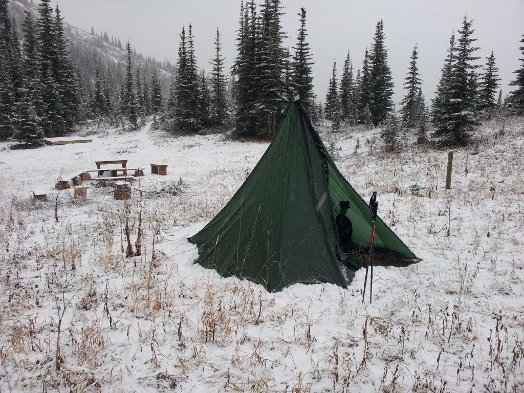
Same camping area the next morning. The first precip of the trip. Unknown to me I’d left my titanium ‘spork’ on the bench by the fire. The snowfall covered it and it’s likely now in possession of the first person up there in the spring.

At the Mt. Davis summit with an elevation reading of 6090 feet.
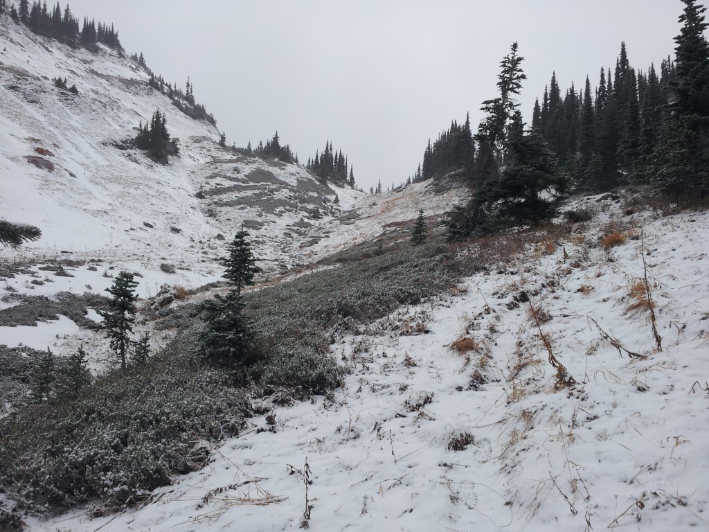
Looking back towards the summit.
The trail in these two photos is likely the hundred and sixty-four year old original trail. This route to the Interior was chosen not because it was the easiest route but because it provided better pasture-land for the horses than did the lesser elevation routes.

It took four days to reach Tulameen. I left the HBC trail when I reached the Tulameen River and then walked the logging roads which led to town. I arrived in Tulameen at nine, just as the only store was about to close. Out of food and needing quick calories I purchased this bread, peanut butter, and jam for $16.89. It was now freezing at night and hoping to find a warmer place to sleep I knocked on the door of Ed and Marg Reichert, who I had purchased snowmobiles from in the past, and asked if I could sleep in their shop. They were good with that and put me up in the attached kitchen where I was told to help myself to whatever there was to eat. I was more than happy to oblige.
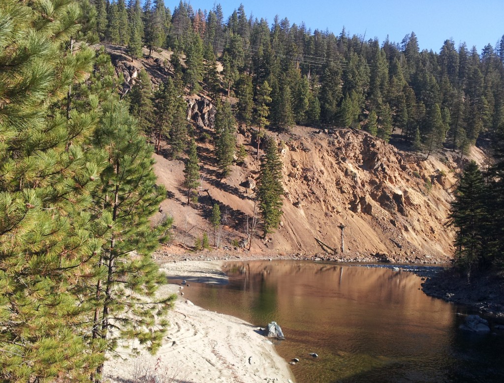
The Tulameen River between Coalmont and Princeton.
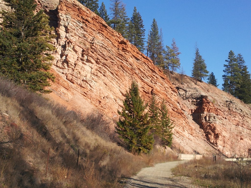
Princeton was originally called Vermilion Forks because of the red colour of the rocks and its location at the junction of the Similkameen and Tulameen Rivers.

The last crossing of the Tulameen River before Princeton as well as the tunnel that runs under the highway.

To me, this bridge, duplicating the adjacent available pedestrian crossing is a mismanagement of funds that could have been used to provide much needed simple trail amenities like outhouses and camping spots. I used the highway bridge to cross, thanks.

The concrete base of this gazebo was once the foundation of a water tank used to fill the steam locomotives. A tip of the hat to the Vermilion Trail Society for this bit of improvisation. And I had to do a bit of that as well, in pitching my tent the previous night. To lighten the load I left my tent pole behind choosing instead to simply cut one when needed. No trees here so the tent is roped to the rafters of the gazebo.

Nothing of note about this trestle at Spukunne Creek except we lived just below it in 5 Mile Valley for five years.
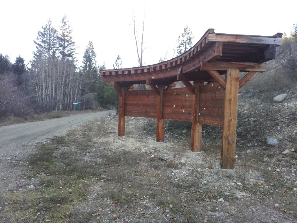
Another example of a bureaucratic boondoggle. This one I have first-hand knowledge of, as it’s within the Summerland Trail Society’s area. We never asked for this signboard nor could we see any point in using it given its remote location. Its been there serving no purpose for at least five years.

Long story short, when I arrived in Penticton after dark, I didn’t connect with a relative who was going to take me to Naramata for the night. I’m good at finding places to crawl under when there’s a need. This night the hull of the beached paddle-wheeler, the SS Sicamous, served admirably. And too, here I crossed my earlier path as it was on this beach that I landed and took out after paddling down Okanagan Lake.
Arriving at Rishia and Werner’s place in Naramata on a wet blustery day. I left here well-fueled for the trail ahead.
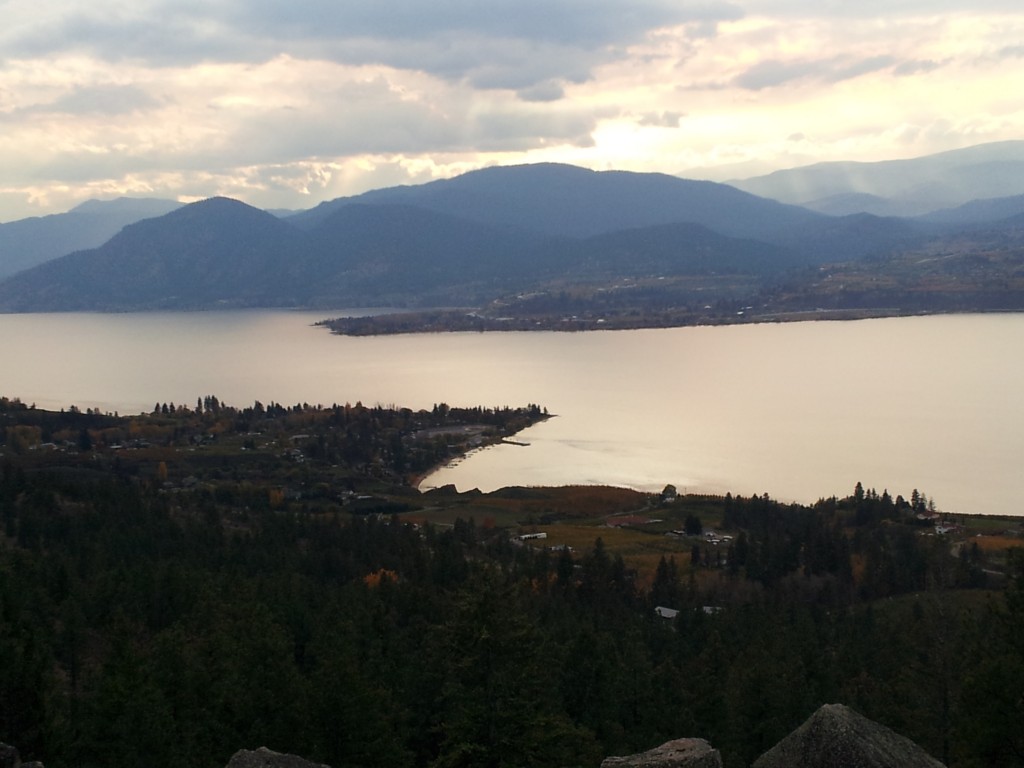
Looking down on Naramata and across Okanagan Lake to Summerland where I lived for 22 years. Beyond that a lot of hills to go around or over if one is walking from the Pacific Ocean.
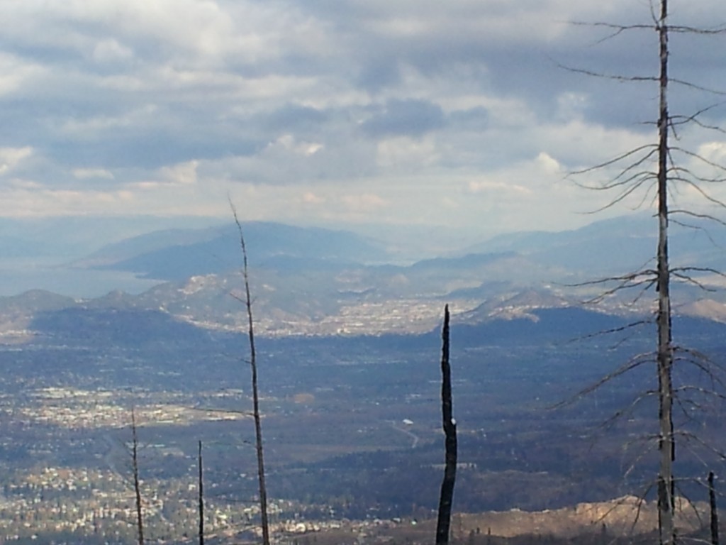
Looking down on Kelowna from the KVR. I took this picture because the small lake in the upper centre of the photo is Woods Lake and barely visible behind it is Kalamalka Lake where my journey started five months earlier.
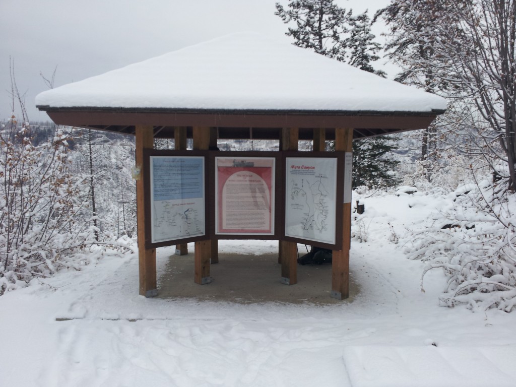
I spent my coldest night of the trip sleeping under this kiosk which marks the beginning of the Myra Canyon section of the KVR. It was only a few degrees below freezing but windy and I should have set up the tent. This photo was taken on November 5th.

Looking across KLO Creek (Myra Canyon) to the rail line and its numerous trestles. A seemingly impossible place to build a railroad and a testament to the man, Andrew McCulloch, who accomplished it. I started working for the Forest Service in Kelowna in 1970 when this railway was still in use. However, this was my first look at Myra Canyon. You can walk it, you can bike it, but don’t not visit it. Another option is a google virtual tour available at http://www.myra-trestles.com/

Only a few of the 18 trestles in Myra Canyon survived a devastating forest fire in 2003. They were, however, all reconstructed using creosoted timbers and to the same design as the original trestles. A very impressive job of restoration.

This reconstructed trestle was smashed apart by this massive boulder. Consider how many trainloads of passengers passed this spot in the last hundred years and the havoc this boulder could have caused, had it dislodged a geological blink sooner.

Losing elevation and snow south of Beaverdell.

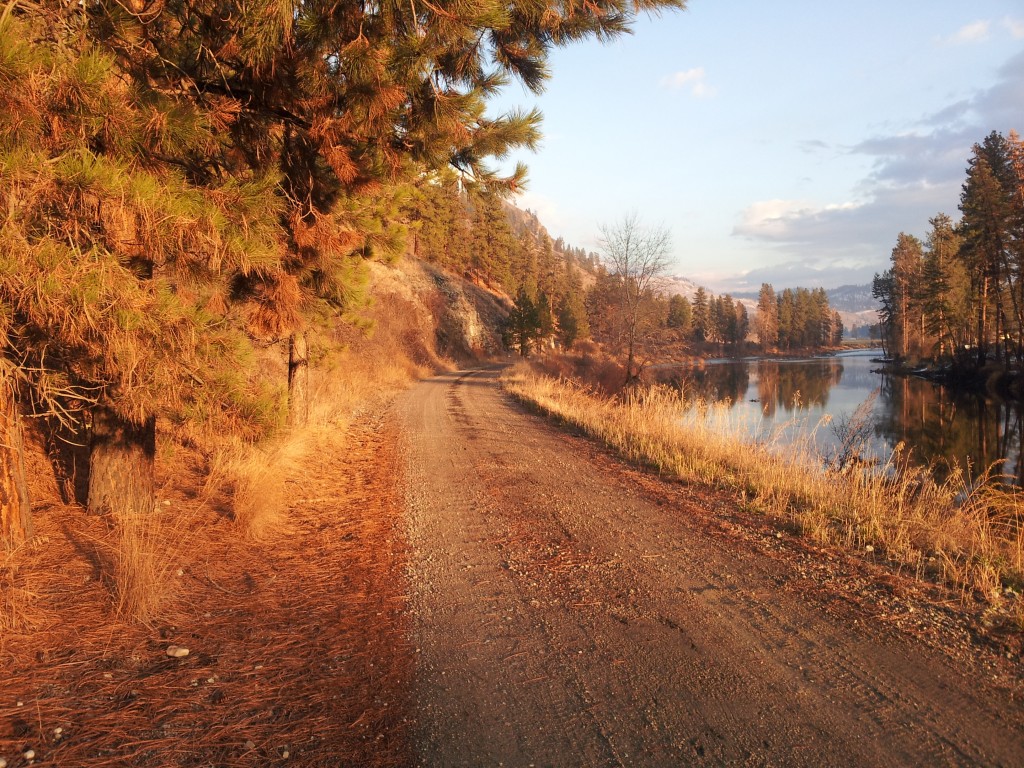
Adjacent the Kettle River.
A very pleasant day south of Rock Creek

A second spot where I crossed my path from earlier in the year.
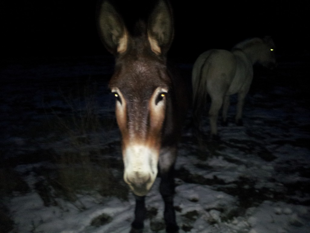
There were many gates to open and close between Rock Creek and Midway. Had a visit from this fellow in one of those pastures. He wanted to give me a good sniff and I had to push him back to take this picture.

The station at Midway, Mile 0 of the Kettle Valley Railway.
